Pay in 4 interest-free payments of $6.99 Learn more
Shipping Estimate
USA
- USA
- CAN
- USA
- CAN
Ships within 48 hours · Estimated delivery Oct 26 - Oct 31
Pay in 4 interest-free payments of $6.99 Learn more
Ships within 48 hours · Estimated delivery Oct 26 - Oct 31
NGA Plotting Chart 929 is for use between lattitudes of 49° to 54° (North or South)
Trainees will engage with detailed content that addresses advanced challenges and scenarios faced by radio personnel in maritime contexts
The Morse Code was developed by Samuel F
Included on this side is a crossing guide if you are planning a journey to the Bahamas
completely updated to reflect the latest technical
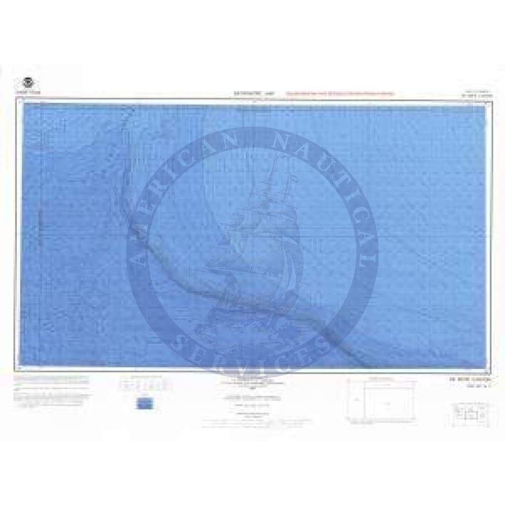
Bathymetric Chart NH-16-11: DE SOTO CANYON Port & Terminal Operations NGA Plotting Chart 929 isThe chart you are viewing is a bathymetric chart by OceanGrafix. It is designed to present an accurate, measurable description and visual presentation of the submerged terrain in this area.
US$ 41.99
US$ 40.00
US$ 44.00
US$ 44.00
US$ 159.99
US$ 40.00
US$ 44.00
US$ 44.00
US$ 44.00